Nieuwe modellen2020 – doorlopend
Bosbeheer
A three-layered model that opens the forestry sector to the public: satellite monitoring, citizen science, and a weekly web series.
Lees meer
Research — near-real-time satellite monitoring with the technology of Satelligence. The database shows bi-weekly alerts of changes in forest coverage across the production area of Suriname’s forest, a quarter of the land area, shared publicly via Busi Taki.
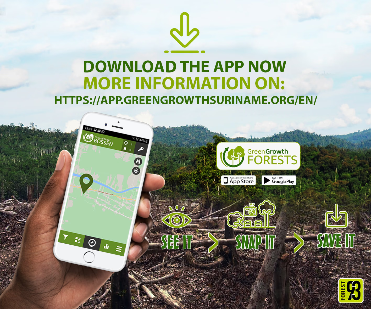
Engagement — citizen science through two mobile apps developed with Spotteron. Green Growth Forests lets anyone photograph and record signs of deforestation or logging; it was released in August 2020 and extended to Guyana in January 2021. Green Growth Wildlife is the first citizen science app published in an Indigenous language.
Awareness — a weekly episode by nature enthusiast and journalist Christio Wijnhard puts the findings in front of the public, drawing on both the apps and the satellite data.
Triangulating the three opens up the governance of the forestry sector, with more and readily available information about activity in the forest. All data is shared with researchers and government institutes.
Busi Taki ↗Satelligence ↗